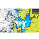
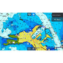
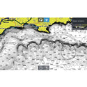
Description of Cartography (Nautical Chart):
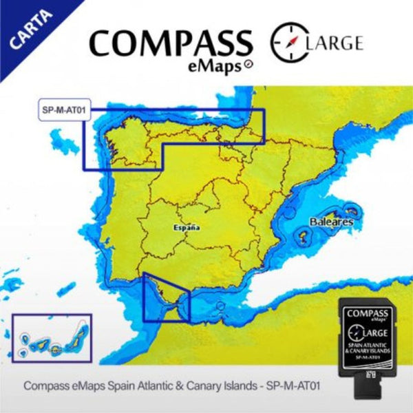
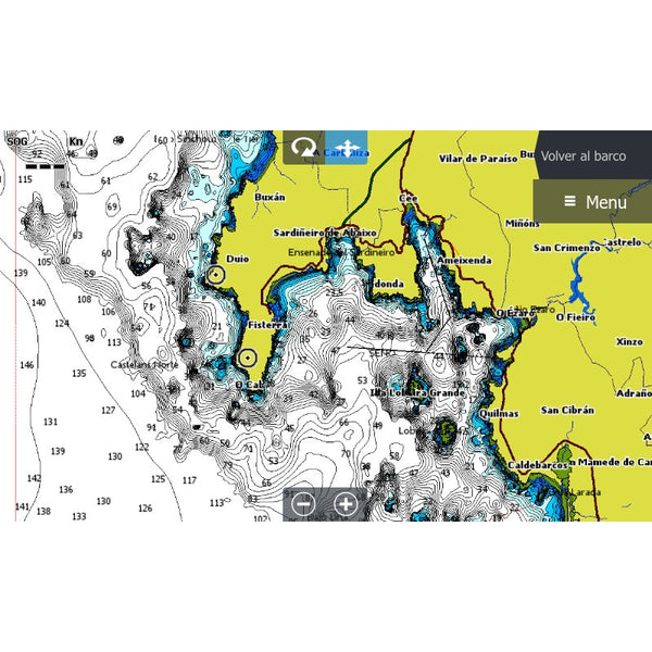
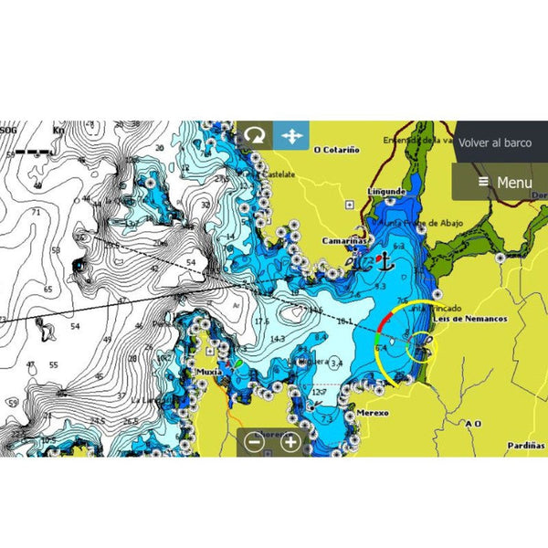
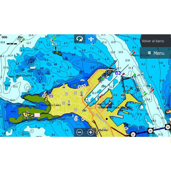
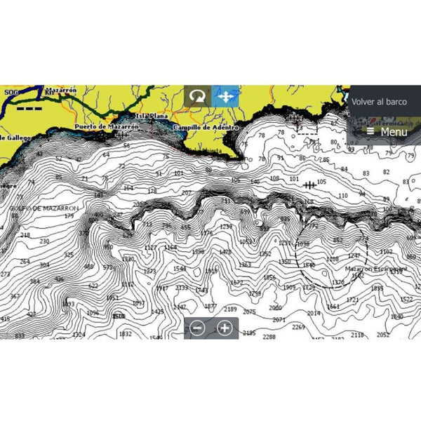
We present the Nautical Chart for the Atlantic and Mediterranean (Cartography Compass eMaps Spain Atlantic & Canary Islands). This cartography will provide you with information and high-precision navigation aids along the entire coast. The most accurate cartographic information of the Galician Atlantic coast, the Cantabrian Sea to France, the Atlantic Sea (Spanish waters) and the Canary Islands.
You can also get hold of the coast of Huelva to the north of the province of Girona, passing through the Strait of Gibraltar and including the Balearic Islands . The entire Mediterranean coast of the Iberian Peninsula in a single chart.
Compatible with Lowrance, Simrad and B&G brands.
Frequent questions
When will I receive the product?
What is the delivery price?
Do I have ADVANTAGES if I am WeFish PRO?
Quick and hassle-free return
Anglers who bought this product also bought
Product title
Vendor
€19,99 EUR | €24,99 EUR
Product title
Vendor
€19,99 EUR | €24,99 EUR
Product title
Vendor
€19,99 EUR | €24,99 EUR
Product title
Vendor

