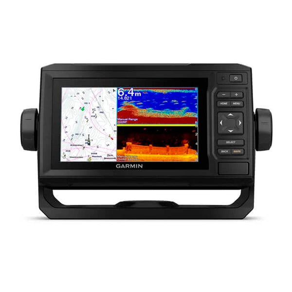

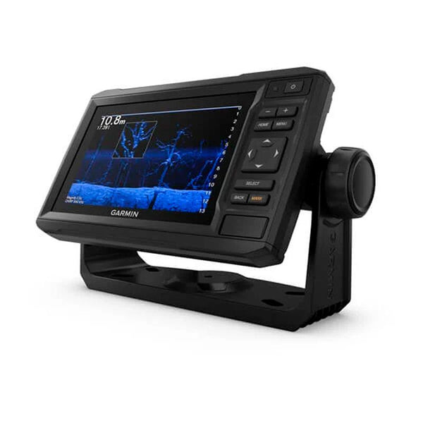
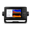
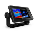

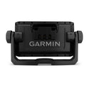
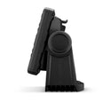

Description of the Garmin EchoMAP UHD 62cv fishfinder, with GT24 xdcr transducer:
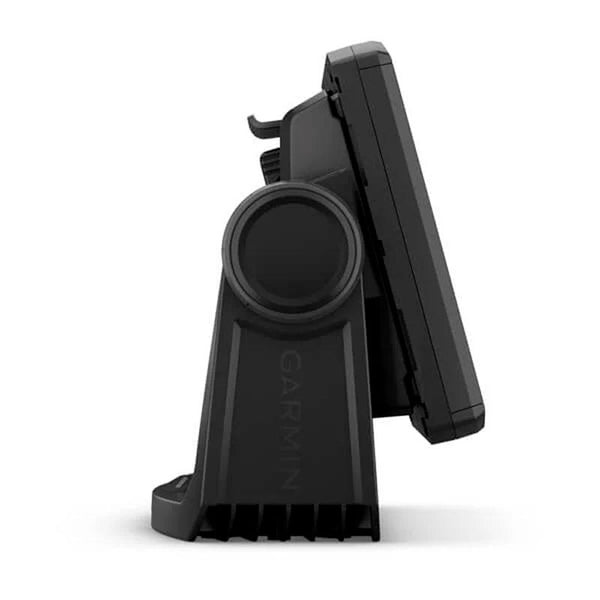
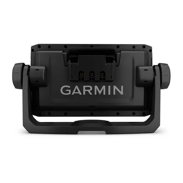
The 6” sunlight-readable display and key plotter features a quick-release surface-mount bracket. Plus, the Transducer Pack adds HD scanning sonar and CHIRP traditional sonar.
GT24-TM TRANSDUCER
Enjoy high-definition ClearVü scanning sonar, giving you a crystal-clear image of what's just below your boat. Plus, you get Garmin's high-frequency band CHIRP traditional sonar, which provides exceptional target separation.
OPTIONAL CHARTS AND MAPS
Enjoy unmatched coverage and detail with compatibility with BlueChart® g3 Vision marine charts, which feature built-in Garmin and Navionics® content.
QUICKDRAW CONTOURS
Create custom on-screen fishing maps with 30m contours. Keep the data to yourself or share it with the QuickDraw™ community on Garmin Connect™.
NMEA 2000® AND NMEA 0183 NETWORKS
Access autopilots, digital switching, weather forecast, FUSION-Link™ audio system, multimedia content, VHF, AIS and much more on a single screen.
ACTIVECAPTAIN® APP
Built-in Wi-Fi® connectivity, allowing you to pair with the comprehensive free mobile app to access OneChart™ functionality, smart notifications1, software updates, Garmin QuickDraw community data and much more.
Physical and performance characteristics:
| UNIT DIMENSIONS (WIDTH/HEIGHT/DEPTH) | 21.8 x 13.0 x 6.2cm |
|---|---|
| SCREEN SIZE (WIDTH/HEIGHT) | 13.7 x 7.7cm; 15.2 cm (6.2") diagonal |
| SCREEN RESOLUTION (WIDTH/HEIGHT) | 480 x 800 pixels |
| DISPLAY TYPE | WVGA display |
| WEIGHT | 0.7kg |
| WATER RESISTANCE CLASSIFICATION | IPX7 |
| MOUNTING OPTIONS | On surface or recessed |
| ENERGY CONSUMPTION | 12W |
| ANTENNA | Internal or external via NMEA 2000 |
| POTENCY OF TRANSMISSION | 500 W (RMS)/4000 W (peak-to-peak) |
| RECEIVER | 5hz |
| GARMIN MARINE NETWORK™ PORTS | None |
Maps and memory:
| PRE-INSTALLED MAPS | world basemap |
|---|---|
| ADMITS DATA CARDS | 1 microSD™ card; 32 GB maximum size |
| WAYPOINTS | 5000 |
| TRACKS | 50,000 points; 50 saved tracks |
| ROUTES | 100 |
Outdoor leisure functions:
- Tidal prediction.
Plotter functions:
- COMPATIBLE WITH GARMIN SOUNDER
- SUPPORTS AIS (TRACKS THE POSITION OF TARGET SHIPS)
- DSC SUPPORT (SENDS POSITION DATA TO DSC COMPATIBLE VHF)
- ACTIVECAPTAIN-YHTEENSOPIVA
Probe Specifications and Functions:
| COMPATIBLE WITH DOUBLE FREQUENCY PROBE | Yeah |
|---|---|
| COMPATIBLE WITH DUAL BEAM PROBE | Yeah |
| CLEARVÜ | Yes, with CHIRP (built-in) |
| MAX DEEP |
700 meters at 77 kHz (in fresh water) 335 meters at 77 kHz (in salt water) (Maximum depth depends on bottom type and other water conditions) |
| BLOCK AT THE BOTTOM (SHOWS THE SIGNALS THAT IT RETURNS FROM THE BOTTOM TO THE SURFACE) | Yeah |
| CHART AND RECORD OF WATER TEMPERATURE | Yeah |
| PROBE RECORDING | Yeah |
| PROBE HISTORY BACK FUNCTION | Yeah |
Connections:
| COMPATIBLE WITH NMEA 2000 ® | Yeah |
|---|---|
| TRANSDUCER PIN NUMBERS | 4 |
| NMEA 0183 INPUT PORTS | 1 |
| NMEA 0183 OUTPUT PORTS | 1 |
| WIRELESS CONNECTIVITY | Yeah |
Frequent questions
When will I receive the product?
What is the delivery price?
Do I have ADVANTAGES if I am WeFish PRO?
Quick and hassle-free return
Anglers who bought this product also bought
Product title
Vendor
€19,99 EUR | €24,99 EUR
Product title
Vendor
€19,99 EUR | €24,99 EUR
Product title
Vendor
€19,99 EUR | €24,99 EUR
Product title
Vendor


